Iceland Summons US Ambassador After Trump Posts Map Claiming Island
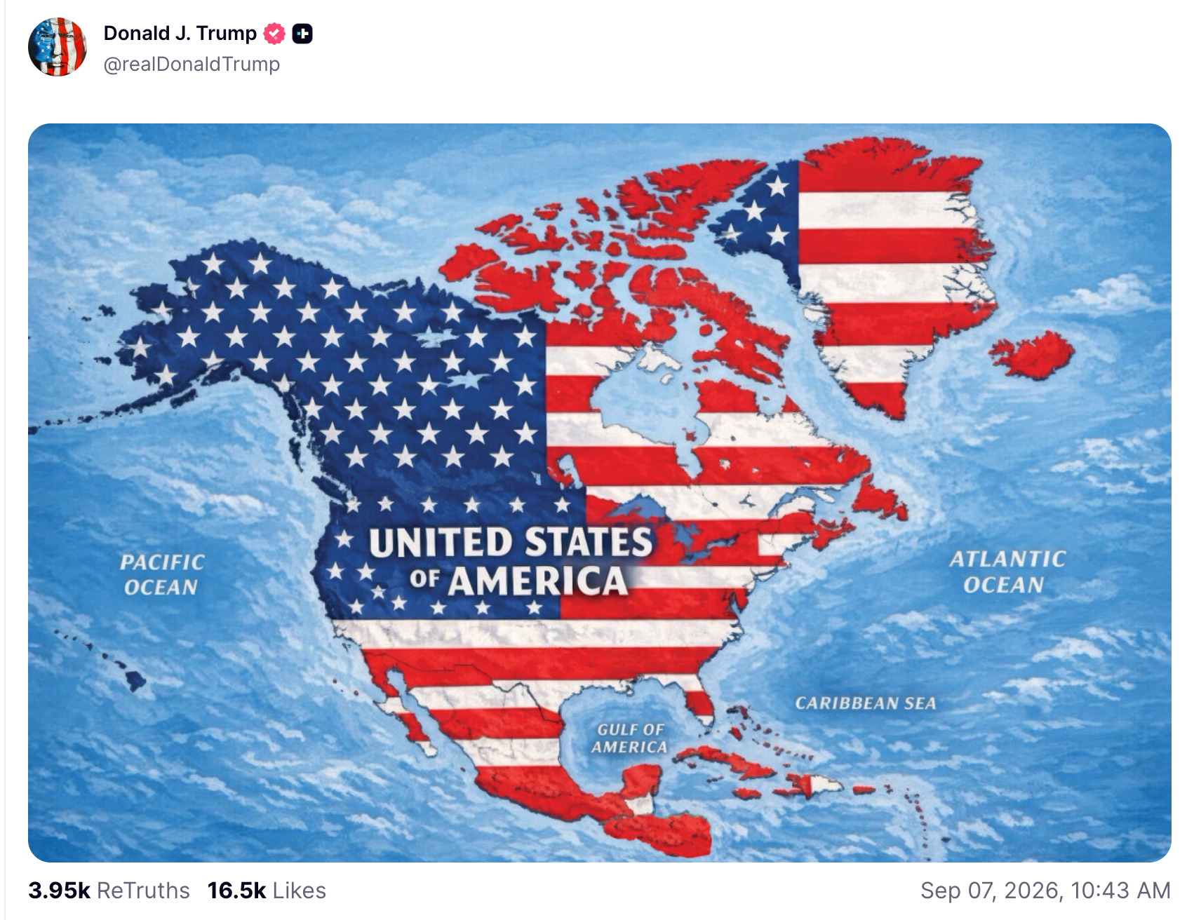
Iceland has formally protested after Donald Trump shared a map depicting the country as part of the United States, escalating diplomatic tensions between Reykjavik and Washington.
By Ravi Menon · First published 8 Sept 2026
In brief
- Donald Trump posted a map on social media depicting Iceland, Greenland, and other countries as part of the United States.
- The Icelandic government summoned the US ambassador and strongly objected, emphasizing Iceland's sovereignty and independence.
- Iceland's foreign minister directly confronted the US ambassador and demanded a clear explanation for the map.
- Trump said the map was intended as a joke, but Iceland and other countries did not find it appropriate or amusing.
- Denmark and Mexico have joined Iceland in condemning the post, increasing diplomatic pressure on the United States.
Timeline · 6 moments
Trump posts map showing US flag over Iceland
DER SPIEGEL - Schlagzeilen – Tops ↗Iceland summons US ambassador over map incident
Telegraaf ↗Iceland publicly denounces map as unacceptable
Global News ↗Trump claims map was meant as a joke
The Independent ↗Iceland emphasizes importance of sovereignty
NYT World News ↗Denmark and Mexico join condemnation of Trump's map post
CNBC ↗Update 9 Sept 2026, 8:59 am UTC
Officials from Denmark and Mexico have now also publicly condemned Trump's map, broadening the diplomatic backlash beyond Iceland. Iceland continues to insist on its sovereignty and independence in response to the post.
How it started
The situation began when former US President Donald Trump posted an image on social media. The map showed the American flag draped over all of North America, including Canada, Mexico, Greenland, and Iceland. In the image, these countries appeared as if they were part of the United States.
The post quickly caught the attention of Icelandic officials. Many in Iceland viewed the depiction as an affront to their sovereignty and national identity. According to several reports, the map was interpreted not just as a joke, but as a provocative gesture.
How it unfolded
On September 7, 2026, news of the map began circulating internationally. Outlets described the image as both absurd and inflammatory, especially in the context of previous tensions involving US interests in Greenland and Canada.
By September 8, Iceland's government took formal action. The foreign minister summoned the US ambassador, Billy Long, to explain the map's publication. In statements to the press, Icelandic officials called the image completely inappropriate and unacceptable.
Trump later stated that the post was intended as a joke. However, Icelandian leaders rejected this explanation, arguing that such depictions undermine respect for national boundaries and independence.
The incident reignited broader concerns in Iceland about their sovereignty and their relationship with larger world powers. It also drew attention to Iceland's recent foreign policy moves, such as voting against joining the European Union, which reflect a strong desire to maintain independence.
Where it stands
As of now, diplomatic relations between Iceland and the United States are strained. Iceland is awaiting a more detailed response from US officials regarding the incident. The US ambassador has already faced direct questioning from Iceland's foreign minister.
The episode has left many in Iceland frustrated and watchful for further developments. The US response will likely determine whether this dispute escalates or fades from the spotlight.
What to watch
Observers are watching for an official statement or apology from the US government. The Icelandic government may consider further diplomatic action if the response is deemed insufficient. The incident could have lasting effects on Iceland's approach to international relations and its stance toward larger allies.
More in Politics
All →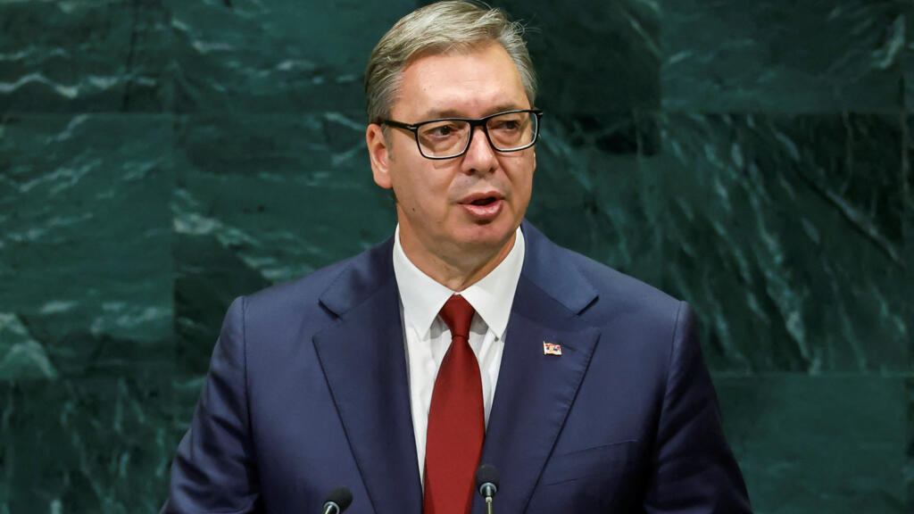
Serbian President Aleksandar Vucic Resigns Ahead of Parliamentary Elections, Eyes Prime Minister Role
Aleksandar Vucic has stepped down as Serbia's president just before early elections, setting the stage for a possible transition to prime minister and a major shift in the country's leadership.
17 sources · today
Andy Burnham Faces Early Tests as UK Prime Minister Amid Labour Unrest
Andy Burnham's first weeks as UK Prime Minister have been shaped by high-profile diplomacy, internal Labour divisions, and a refusal to call an early election, setting the stage for his first party conference.
15 sources · over 6 days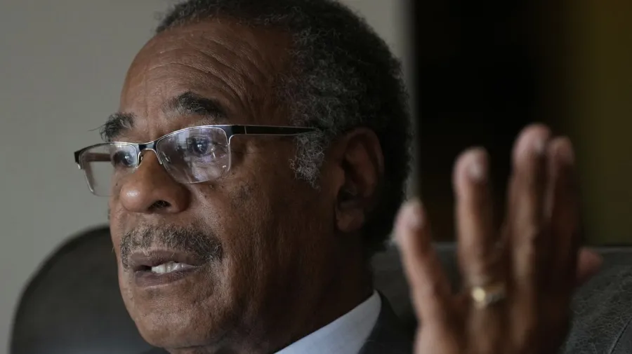
Supreme Court Blocks Missouri GOP Congressional Map for Third Time
The US Supreme Court has again halted Missouri Republicans from using a favored congressional map, leaving the state's redistricting unresolved as midterm elections approach.
11 sources · over 2 days